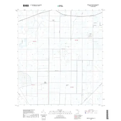
2018 Map of North of Bluefield
USGS Topo · Published 2018About this map
The Allapattha Flats dominate this section of Saint Lucie County, revealing a landscape defined by industrial-scale agriculture and private aviation. The terrain is structured by a network of drainage infrastructure, including the Rim Ditch and the Germany Canal Rd, which manage the water flow across these historically marshy lands. Aviation plays a surprisingly prominent role in this rural area, with several private facilities such as Hales 700 Airport and the Evans Properties Inc Airport positioned among the groves and fields. In the northern section, aviation-themed residential names like Kitty Hawk Ct and Tranquility Base Ln near Aero-Acres Airport suggest a unique fly-in community development. Roads such as Okeechobee Rd and Glades Cut Off Rd provide the primary transit corridors through this grid of townships and ranges.
Find a feature on this map
28 named features on this map. Tap any name to fly to it.
Don’t see what you’re looking for? This feature index may not catch every label — zoom into the map to look around manually.
Map Details
Editions of this 2018 North of Bluefield Map
This is the sole edition of this map. No revisions or reprints were ever made.
Other maps of this area
1949 · Fort Pierce NW
USGS Topo · 1:24,000
1950 · Fort Pierce NW
USGS Topo · 1:24,000
1953 · Okeechobee 1 SE
USGS Topo · 1:24,000
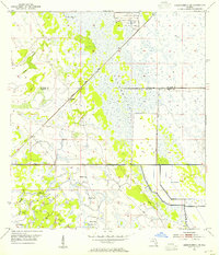
1953 · Okeechobee 4 NE
USGS Topo · 1:24,000
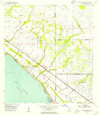
1953 · Okeechobee 4 NW
USGS Topo · 1:24,000
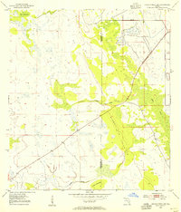
1953 · Okeechobee 1 SW
USGS Topo · 1:24,000
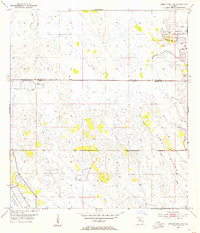
1953 · Indian Town NW
USGS Topo · 1:24,000
1953 · Okeechobee 1 NE
USGS Topo · 1:24,000
1953 · Okeechobee 1 NW
USGS Topo · 1:24,000
1953 · Fort Pierce SW
USGS Topo · 1:24,000