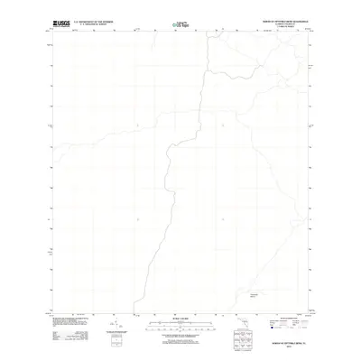
2012 Map of North of Fiftymile Bend
USGS Topo · Published 2012About this map
Threemile Island sits within this portion of Collier County, which is defined by the intricate hydrology of the western Everglades region. Surveyed by the U.S. Geological Survey in 2012, the landscape is dominated by complex watercourses and wetlands characteristic of the Florida interior. The cartography emphasizes the natural drainage patterns of this marshland environment, where small hammock-like islands provide subtle vertical relief amidst the surrounding wetlands. This digital-age survey captures the pristine state of the area’s hydrography, revealing the subtle ways land and water intertwine in this ecologically critical corner of the state.
Find a feature on this map
1 named feature on this map. Tap any name to fly to it.
Don’t see what you’re looking for? This feature index may not catch every label — zoom into the map to look around manually.
Map Details
Editions of this 2012 North of Fiftymile Bend Map
This is the sole edition of this map. No revisions or reprints were ever made.
Other maps of this area
1956 · Miami
USGS Topo · 1:250,000

1956 · West Palm Beach
USGS Topo · 1:250,000

1957 · West Palm Beach
USGS Topo · 1:250,000

1958 · West Palm Beach
USGS Topo · 1:250,000
1958 · Miami
USGS Topo · 1:250,000
1972 · Monroe Station NE
USGS Topo · 1:24,000
1973 · Fortymile Bend
USGS Topo · 1:24,000
1973 · Fiftymile Bend
USGS Topo · 1:24,000
1973 · North Of Fiftymile Bend
USGS Topo · 1:24,000
1973 · Monroe Station
USGS Topo · 1:24,000