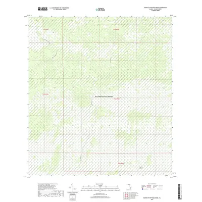
2018 Map of North of Fiftymile Bend
USGS Topo · Published 2018About this map
Big Cypress National Preserve defines the entirety of this landscape in eastern Collier County. The map details a largely roadless wetland wilderness, where navigation is limited to a handful of established routes. The Florida National Scenic Trail winds through the northwestern corner of the quadrangle, representing a vital segment of this long-distance hiking path through the Florida interior. Further south, the singular corridor of Eleven Mile Rd provides the only significant north-south vehicle access through the heart of the preserve. The terrain is characterized by a dense network of wetlands and cypress strands, punctuated by subtle elevations such as Threemile Island in the southeast. This survey provides a precise record of the preserve's water and trail infrastructure before more recent environmental and climate shifts impacted the region.
Find a feature on this map
9 named features on this map. Tap any name to fly to it.
Don’t see what you’re looking for? This feature index may not catch every label — zoom into the map to look around manually.
Map Details
Editions of this 2018 North of Fiftymile Bend Map
This is the sole edition of this map. No revisions or reprints were ever made.
Other maps of this area
1956 · Miami
USGS Topo · 1:250,000

1956 · West Palm Beach
USGS Topo · 1:250,000

1957 · West Palm Beach
USGS Topo · 1:250,000

1958 · West Palm Beach
USGS Topo · 1:250,000
1958 · Miami
USGS Topo · 1:250,000
1972 · Monroe Station NE
USGS Topo · 1:24,000
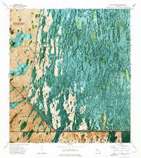
1973 · Fortymile Bend
USGS Topo · 1:24,000
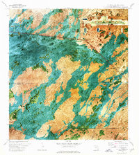
1973 · Fiftymile Bend
USGS Topo · 1:24,000
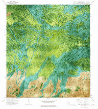
1973 · North Of Fiftymile Bend
USGS Topo · 1:24,000
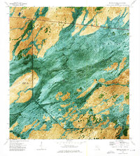
1973 · Monroe Station
USGS Topo · 1:24,000