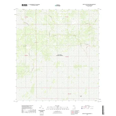
2021 Map of North of Fiftymile Bend
USGS Topo · Published 2021About this map
Big Cypress National Preserve defines this portion of the Florida Everglades, where a network of trails and access roads spiderwebs across the wetland landscape. The area is characterized by its remote interior access, marked by the long-distance Florida National Scenic Trl and various utility and recreational paths such as the Pipeline Bypass Trl and Jet Port Trl. These routes suggest a landscape managed for both conservation and specific infrastructure needs.
Find a feature on this map
15 named features on this map. Tap any name to fly to it.
Don’t see what you’re looking for? This feature index may not catch every label — zoom into the map to look around manually.
Map Details
Editions of this 2021 North of Fiftymile Bend Map
This is the sole edition of this map. No revisions or reprints were ever made.
Other maps of this area
1956 · Miami
USGS Topo · 1:250,000

1956 · West Palm Beach
USGS Topo · 1:250,000

1957 · West Palm Beach
USGS Topo · 1:250,000

1958 · West Palm Beach
USGS Topo · 1:250,000
1958 · Miami
USGS Topo · 1:250,000
1972 · Monroe Station NE
USGS Topo · 1:24,000
1973 · Fortymile Bend
USGS Topo · 1:24,000
1973 · Fiftymile Bend
USGS Topo · 1:24,000
1973 · North Of Fiftymile Bend
USGS Topo · 1:24,000
1973 · Monroe Station
USGS Topo · 1:24,000