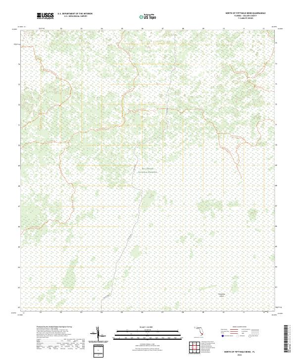
2024 Map of North of Fiftymile Bend
USGS Topo · Published 2024About this map
Big Cypress National Preserve encompasses the entirety of this landscape in Collier County, Florida. This 2024 survey depicts a vast wetland ecosystem characterized by a dense network of specialized access routes and trails rather than conventional urban development. The presence of the Florida National Scenic Trl cutting through the western portion of the preserve highlights the area's significance for long-distance wilderness travel.
Find a feature on this map
16 named features on this map. Tap any name to fly to it.
Don’t see what you’re looking for? This feature index may not catch every label — zoom into the map to look around manually.
Map Details
Editions of this 2024 North of Fiftymile Bend Map
This is the sole edition of this map. No revisions or reprints were ever made.
Other maps of this area

1956 · Miami
USGS Topo · 1:250,000

1956 · West Palm Beach
USGS Topo · 1:250,000

1957 · West Palm Beach
USGS Topo · 1:250,000

1958 · West Palm Beach
USGS Topo · 1:250,000

1958 · Miami
USGS Topo · 1:250,000

1972 · Monroe Station NE
USGS Topo · 1:24,000

1973 · Fortymile Bend
USGS Topo · 1:24,000

1973 · Fiftymile Bend
USGS Topo · 1:24,000

1973 · North Of Fiftymile Bend
USGS Topo · 1:24,000

1973 · Monroe Station
USGS Topo · 1:24,000