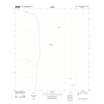
2012 Map of North of Fortymile Bend
USGS Topo · Published 2012About this map
Mart Law Seminole Village and Sam Willie Seminole Village stand as significant cultural landmarks in this corner of the Florida Everglades during the early 21st century. The landscape is defined by the management of water and the preservation of traditional sites, with the Levee 28 Tieback providing a clear structural boundary against the natural terrain. Named locations like Panther Camp and the Choctaw Hammock indicate a region where local geography is intimately tied to both indigenous history and the specific ecology of the hammock environment. The presence of Sam Franks Old Farm further illustrates the intersection of small-scale agricultural history within this specialized wetland ecosystem, offering a view of the human footprint in a region dominated by conservation and tribal lands.
Find a feature on this map
6 named features on this map. Tap any name to fly to it.
Don’t see what you’re looking for? This feature index may not catch every label — zoom into the map to look around manually.
Map Details
Editions of this 2012 North of Fortymile Bend Map
This is the sole edition of this map. No revisions or reprints were ever made.
Other maps of this area

1956 · Miami
USGS Topo · 1:250,000

1956 · West Palm Beach
USGS Topo · 1:250,000

1957 · West Palm Beach
USGS Topo · 1:250,000

1958 · West Palm Beach
USGS Topo · 1:250,000

1958 · Miami
USGS Topo · 1:250,000

1973 · Fortymile Bend
USGS Topo · 1:24,000

1973 · Custard Apple Hammock
USGS Topo · 1:24,000

1973 · Fiftymile Bend
USGS Topo · 1:24,000

1973 · North Of Fiftymile Bend
USGS Topo · 1:24,000

1973 · Long Island
USGS Topo · 1:24,000