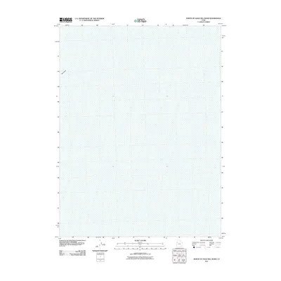
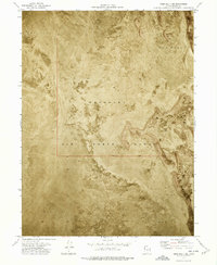
2011 Map of North of Gold Hill Wash
USGS Topo · Published 2011About this map
Tank Wash provides the only named geographical reference point in this sparse high-desert landscape of Tooele County. Mapped in 2011, the terrain is characterized by subtle elevation shifts recorded with a ten-foot contour interval, illustrating the drainage patterns that define this arid basin. This document, produced by the U.S. Geological Survey, reflects the quiet, uninhabited stretches of western Utah where natural watercourses like the wash are the primary landmarks. The lack of built infrastructure or settlements highlights the isolation of this corner of the state, serving as a primary source for understanding the physical geography and hydrology of the region near the Nevada border.
Find a feature on this map
1 named feature on this map. Tap any name to fly to it.
Don’t see what you’re looking for? This feature index may not catch every label — zoom into the map to look around manually.
Map Details
Editions of this 2011 North of Gold Hill Wash Map
This is the sole edition of this map. No revisions or reprints were ever made.
Other maps of this area
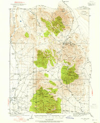
1925 · Gold Hill
USGS Topo · 1:62,500
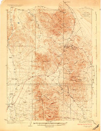
1928 · Gold Hill
USGS Topo · 1:62,500

1953 · Tooele
USGS Topo · 1:250,000

1955 · Tooele
USGS Topo · 1:250,000
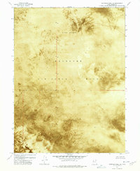
1972 · Elephant Knoll NE
USGS Topo · 1:24,000
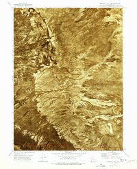
1972 · Elephant Knoll SE
USGS Topo · 1:24,000
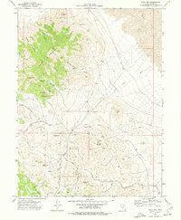
1973 · Gold Hill
USGS Topo · 1:24,000
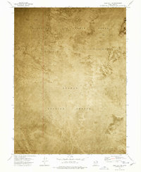
1973 · Gold Hill 1 SE
USGS Topo · 1:24,000
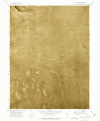
1973 · Gold Hill 1 SW
USGS Topo · 1:24,000
1973 · Gold Hill 1 NE
USGS Topo · 1:24,000