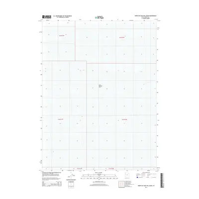
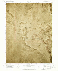
2014 Map of North of Gold Hill Wash
USGS Topo · Published 2014About this map
Great Salt Lake Desert dominates this Tooele County landscape, presenting a stark expanse of salt flats and arid terrain. This portion of the Great Basin is defined largely by the Public Land Survey System, with township and range lines like t6s r17w and t5s r16w carving the basin into a precise geometric grid. The map reveals the immense scale of the desert's interior, where few natural landmarks or human settlements interrupt the salt crust. Instead, the area is characterized by low relief and the vast, dry basins of western Utah. This data-rich survey focuses on the intricate topography of the desert floor, providing a specialized look at one of the most desolate environments in the American West as it appeared in the early twenty-first century.
Find a feature on this map
7 named features on this map. Tap any name to fly to it.
Don’t see what you’re looking for? This feature index may not catch every label — zoom into the map to look around manually.
Map Details
Editions of this 2014 North of Gold Hill Wash Map
This is the sole edition of this map. No revisions or reprints were ever made.
Other maps of this area
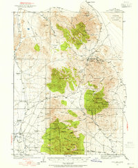
1925 · Gold Hill
USGS Topo · 1:62,500
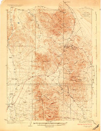
1928 · Gold Hill
USGS Topo · 1:62,500

1953 · Tooele
USGS Topo · 1:250,000

1955 · Tooele
USGS Topo · 1:250,000
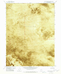
1972 · Elephant Knoll NE
USGS Topo · 1:24,000
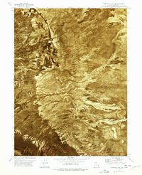
1972 · Elephant Knoll SE
USGS Topo · 1:24,000
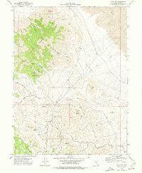
1973 · Gold Hill
USGS Topo · 1:24,000
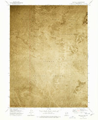
1973 · Gold Hill 1 SE
USGS Topo · 1:24,000
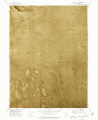
1973 · Gold Hill 1 SW
USGS Topo · 1:24,000
1973 · Gold Hill 1 NE
USGS Topo · 1:24,000