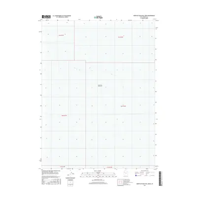
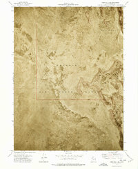
2017 Map of North of Gold Hill Wash
USGS Topo · Published 2017About this map
The Great Salt Lake Desert dominates this 2017 survey of Tooele County, representing a vast, desolate landscape where the floor of the prehistoric Lake Bonneville meets modern mapping precision. This particular quadrangle captures a stark expanse defined by its extreme flatness, where elevation contours are few and the environment is shaped by alkaline flats and seasonal brine. The map is primarily structured by the Public Land Survey System, showing the intersections of t5s r17w, t5s r16w, and t6s r16w among others. This layout illustrates how the American West was geometrically partitioned even in areas where traditional settlement was nearly impossible. Researchers interested in the geography of the Great Basin will find this a clear record of the region’s uninhabited interior before any further environmental or industrial changes might alter its surface.
Find a feature on this map
7 named features on this map. Tap any name to fly to it.
Don’t see what you’re looking for? This feature index may not catch every label — zoom into the map to look around manually.
Map Details
Editions of this 2017 North of Gold Hill Wash Map
This is the sole edition of this map. No revisions or reprints were ever made.
Other maps of this area
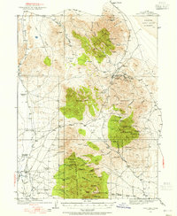
1925 · Gold Hill
USGS Topo · 1:62,500
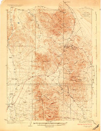
1928 · Gold Hill
USGS Topo · 1:62,500

1953 · Tooele
USGS Topo · 1:250,000

1955 · Tooele
USGS Topo · 1:250,000
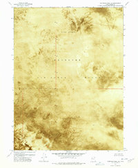
1972 · Elephant Knoll NE
USGS Topo · 1:24,000
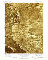
1972 · Elephant Knoll SE
USGS Topo · 1:24,000
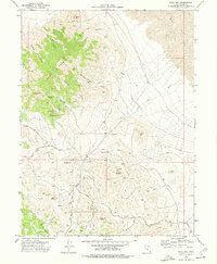
1973 · Gold Hill
USGS Topo · 1:24,000
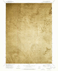
1973 · Gold Hill 1 SE
USGS Topo · 1:24,000
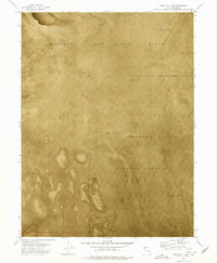
1973 · Gold Hill 1 SW
USGS Topo · 1:24,000
1973 · Gold Hill 1 NE
USGS Topo · 1:24,000