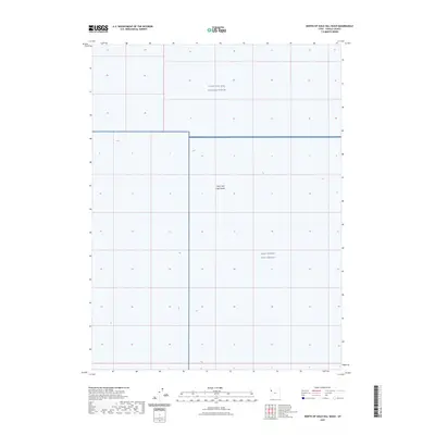
2023 Map of North of Gold Hill Wash
USGS Topo · Published 2023About this map
The Great Salt Lake Desert dominates this Tooele County landscape, a stark expanse of alkaline flats and salt crusts within the Great Basin. This 2023 edition reflects the modern administrative status of this desolate terrain, partitioned for military operations within the Utah Test and Training Range. The southern portion of the sheet is occupied by the West Desert Test Center, a facility that emphasizes the area's continued role in high-security federal testing. This survey is defined by its lack of civilian infrastructure, focused instead on the topographic nuances of the desert floor and the specific boundaries of government-restricted land where public access is strictly regulated. The map serves as a contemporary record of a landscape preserved for strategic defense purposes rather than residential or agricultural settlement.
Find a feature on this map
3 named features on this map. Tap any name to fly to it.
Don’t see what you’re looking for? This feature index may not catch every label — zoom into the map to look around manually.
Map Details
Editions of this 2023 North of Gold Hill Wash Map
This is the sole edition of this map. No revisions or reprints were ever made.
Other maps of this area

1925 · Gold Hill
USGS Topo · 1:62,500

1928 · Gold Hill
USGS Topo · 1:62,500

1953 · Tooele
USGS Topo · 1:250,000

1955 · Tooele
USGS Topo · 1:250,000
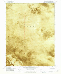
1972 · Elephant Knoll NE
USGS Topo · 1:24,000

1972 · Elephant Knoll SE
USGS Topo · 1:24,000
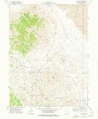
1973 · Gold Hill
USGS Topo · 1:24,000

1973 · Gold Hill 1 SE
USGS Topo · 1:24,000

1973 · Gold Hill 1 SW
USGS Topo · 1:24,000

1973 · Gold Hill 1 NE
USGS Topo · 1:24,000