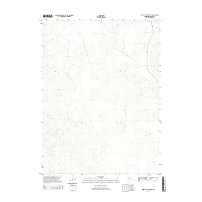
2014 Map of North of Hershey
USGS Topo · Published 2014About this map
Good Hope Cemetery stands as a focal point for local history in this portion of Lincoln County, situated among a landscape defined by long-standing agricultural operations. The map documents a network of established ranching estates, including Pierson Ranch, Pullen Ranch, Gragg Ranch, and Green Ranch, which characterize the region's land use and heritage. Highway Ne-97 provides the primary north-south transit corridor through this section of Nebraska, connecting dispersed rural homesteads with nearby centers like Hershey West and Hershey East. The topography is marked by the undulating features of the Sandhills transition, where the distribution of named ranches and cemeteries offers a clear view of the area's rural development and genealogy.
Find a feature on this map
9 named features on this map. Tap any name to fly to it.
Don’t see what you’re looking for? This feature index may not catch every label — zoom into the map to look around manually.
Map Details
Editions of this 2014 North of Hershey Map
This is the sole edition of this map. No revisions or reprints were ever made.
Other maps of this area
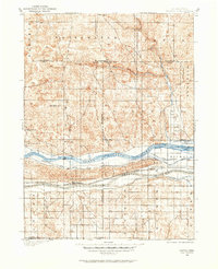
1898 · Paxton
USGS Topo · 1:125,000
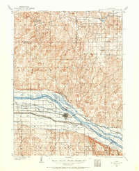
1899 · North Platte
USGS Topo · 1:125,000
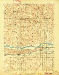
1901 · Paxton
USGS Topo · 1:125,000
1902 · North Platte
USGS Topo · 1:125,000

1954 · North Platte
USGS Topo · 1:250,000

1956 · North Platte
USGS Topo · 1:250,000

1957 · North Platte
USGS Topo · 1:250,000
1967 · North Platte
USGS Topo · 1:250,000
1970 · North Platte West
USGS Topo · 1:24,000
1970 · Hershey East
USGS Topo · 1:24,000