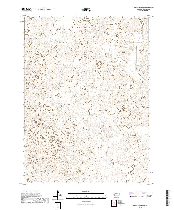
2021 Map of North of Hershey
USGS Topo · Published 2021About this map
Lincoln County terrain north of the Platte River valley is defined by the complex topography of the Nebraska Sandhills. This survey illustrates the transition between T16n R32w and T16n R31w to the north and T15n R32w and T15n R31w to the south. The landscape is marked by a intricate network of sand dunes and depressions, which dictates the layout of the sparse rural road network and section boundaries. Land use is primarily oriented toward ranching, as evidenced by the lack of dense settlements and the preservation of natural drainage patterns across these township divisions.
Find a feature on this map
4 named features on this map. Tap any name to fly to it.
Don’t see what you’re looking for? This feature index may not catch every label — zoom into the map to look around manually.
Map Details
Editions of this 2021 North of Hershey Map
This is the sole edition of this map. No revisions or reprints were ever made.
Other maps of this area

1898 · Paxton
USGS Topo · 1:125,000

1899 · North Platte
USGS Topo · 1:125,000

1901 · Paxton
USGS Topo · 1:125,000

1902 · North Platte
USGS Topo · 1:125,000

1954 · North Platte
USGS Topo · 1:250,000

1956 · North Platte
USGS Topo · 1:250,000

1957 · North Platte
USGS Topo · 1:250,000

1967 · North Platte
USGS Topo · 1:250,000

1970 · North Platte West
USGS Topo · 1:24,000
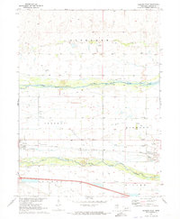
1970 · Hershey East
USGS Topo · 1:24,000