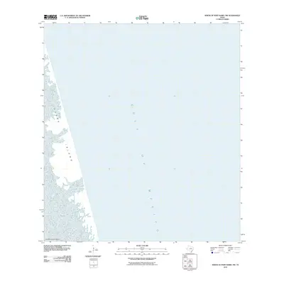
2010 Map of North of Port Isabel NW
USGS Topo · Published 2010About this map
Padre Island stretches along the Texas coastline, separating the open waters of the Gulf of Mexico from the shallow expanse of the Laguna Madre. This 2010 survey illustrates the dynamic coastal landscape of Cameron County, dominated by the barrier island's shifting sands and tidal flats. To the southwest, the shoals of Los Bancos de en Medio sit near the shoreline, marking a transition point between the bay and the sea. The map primarily documents the natural geography of the barrier island system during the first decade of the 21st century, providing a clear view of the interface between land and water before subsequent coastal erosion and storm cycles further altered the shoreline.
Find a feature on this map
4 named features on this map. Tap any name to fly to it.
Don’t see what you’re looking for? This feature index may not catch every label — zoom into the map to look around manually.
Map Details
Editions of this 2010 North of Port Isabel NW Map
This is the sole edition of this map. No revisions or reprints were ever made.
Other maps of this area

1929 · Buena Vista
USGS Topo · 1:24,000

1930 · Padre Island No. 2
USGS Topo · 1:24,000

1935 · Padre Island NO. 2
USGS Topo · 1:31,680

1935 · Buena Vista
USGS Topo · 1:31,680

1952 · Green Island
USGS Topo · 1:24,000
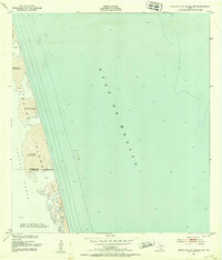
1952 · North Of Port Isabel NW
USGS Topo · 1:24,000

1952 · South of Potrero Lopeno SE
USGS Topo · 1:24,000

1952 · South of Potrero Lopeno
USGS Topo · 1:62,500

1953 · Brownsville
USGS Topo · 1:250,000
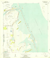
1954 · Three Islands
USGS Topo · 1:24,000