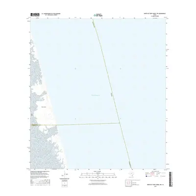
2016 Map of North of Port Isabel NW
USGS Topo · Published 2016About this map
Padre Island dominates the western edge of this coastal survey, where the barrier island's complex shoreline meets the expansive waters of the Gulf of Mexico. This 2016 edition provides a clear visualization of the shifting sands and coastal wetlands along the Texas coast, precisely at the boundary where Willacy Co meets Cameron Co. The presence of Deer Island tucked behind the primary barrier highlights the intricate lagoon system typical of this region. Because this map focuses on the uninhabited coastal strip and open water, it serves as a precise record of the shoreline's position and the political boundaries extending into the Gulf during the mid-2010s.
Find a feature on this map
7 named features on this map. Tap any name to fly to it.
Don’t see what you’re looking for? This feature index may not catch every label — zoom into the map to look around manually.
Map Details
Editions of this 2016 North of Port Isabel NW Map
This is the sole edition of this map. No revisions or reprints were ever made.
Other maps of this area
1929 · Buena Vista
USGS Topo · 1:24,000
1930 · Padre Island No. 2
USGS Topo · 1:24,000
1935 · Padre Island NO. 2
USGS Topo · 1:31,680
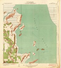
1935 · Buena Vista
USGS Topo · 1:31,680
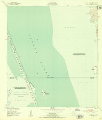
1952 · Green Island
USGS Topo · 1:24,000
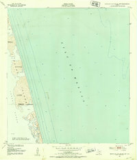
1952 · North Of Port Isabel NW
USGS Topo · 1:24,000
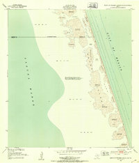
1952 · South of Potrero Lopeno SE
USGS Topo · 1:24,000
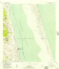
1952 · South of Potrero Lopeno
USGS Topo · 1:62,500
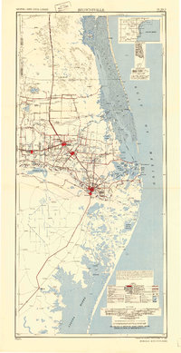
1953 · Brownsville
USGS Topo · 1:250,000
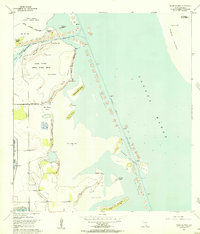
1954 · Three Islands
USGS Topo · 1:24,000