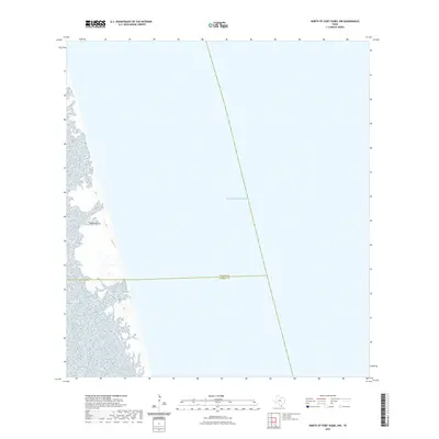
2022 Map of North of Port Isabel NW
USGS Topo · Published 2022About this map
Padre Island dominates the western edge of this coastal survey, where the sandy barrier island meets the expansive Gulf of Mexico. The landscape is primarily composed of coastal wetlands and tidal flats along the western shoreline, illustrating the dynamic interface between the Laguna Madre and the island's interior. A significant administrative boundary bisects the lower portion of the map, marking the jurisdictional line between Willacy Co and Cameron Co. This boundary extends from the marshes across the island and out into the open sea, providing a precise geographic marker for property and local history researchers focusing on the lower Texas coast.
Find a feature on this map
3 named features on this map. Tap any name to fly to it.
Don’t see what you’re looking for? This feature index may not catch every label — zoom into the map to look around manually.
Map Details
Editions of this 2022 North of Port Isabel NW Map
This is the sole edition of this map. No revisions or reprints were ever made.
Other maps of this area

1929 · Buena Vista
USGS Topo · 1:24,000

1930 · Padre Island No. 2
USGS Topo · 1:24,000

1935 · Padre Island NO. 2
USGS Topo · 1:31,680

1935 · Buena Vista
USGS Topo · 1:31,680

1952 · Green Island
USGS Topo · 1:24,000
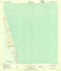
1952 · North Of Port Isabel NW
USGS Topo · 1:24,000

1952 · South of Potrero Lopeno SE
USGS Topo · 1:24,000

1952 · South of Potrero Lopeno
USGS Topo · 1:62,500

1953 · Brownsville
USGS Topo · 1:250,000
1954 · Three Islands
USGS Topo · 1:24,000