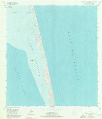
1955 Map of North Of Port Isabel SW
USGS Topo · Published 1976About this map
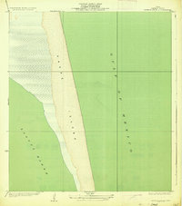
Padre Island appears as a windswept barrier landscape in this mid-century survey, defined by expansive stretches of sand and shifting sand dunes. Situated between the Gulf of Mexico and the shallow waters of Laguna Madre, the island shows almost no modern development, instead featuring isolated coastal landmarks like La Punta Larga and Los Tanques.
Find a feature on this map
14 named features on this map. Tap any name to fly to it.
Don’t see what you’re looking for? This feature index may not catch every label — zoom into the map to look around manually.
Map Details
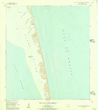
Editions of this 1955 North Of Port Isabel SW Map
3 editions found

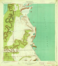
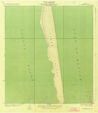
Other maps of this area

1929 · La Coma
USGS Topo · 1:24,000

1929 · Buena Vista
USGS Topo · 1:24,000

1930 · Padre Island No. 1
USGS Topo · 1:24,000

1930 · Padre Island No. 2
USGS Topo · 1:24,000
1934 · La Coma
USGS Topo · 1:31,680
1935 · Padre Island No 1
USGS Topo · 1:31,680
1935 · Padre Island NO. 2
USGS Topo · 1:31,680
1935 · Buena Vista
USGS Topo · 1:31,680
1952 · Green Island
USGS Topo · 1:24,000
1952 · North Of Port Isabel NW
USGS Topo · 1:24,000