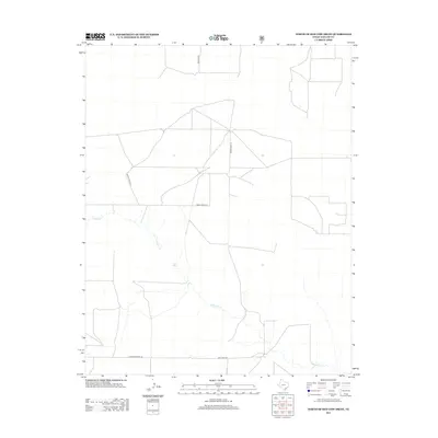
2012 Map of North of Red Cow Draw
USGS Topo · Published 2012About this map
Coldwater Creek meanders through this portion of the Texas Panhandle, defining a drainage pattern across an otherwise open landscape of Dallam County. This area in the high plains is characterized by a sparse network of long, straight rural routes that reflect large-scale ranching and agricultural operations. Named roads like Ben Tom Rd and Minnie Mack Ln provide the primary structural framework for the quadrangle, indicating family or ranch-named heritage. To the south, Lost Camp Rd and E High Lonesome Ln border the area, their evocative names suggesting the solitary character of life on the high plains during this early 21st-century period.
Find a feature on this map
5 named features on this map. Tap any name to fly to it.
Don’t see what you’re looking for? This feature index may not catch every label — zoom into the map to look around manually.
Map Details
Editions of this 2012 North of Red Cow Draw Map
This is the sole edition of this map. No revisions or reprints were ever made.
Other maps of this area
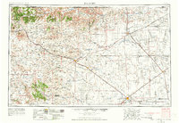
1954 · Dalhart
USGS Topo · 1:250,000
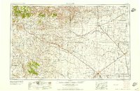
1958 · Dalhart
USGS Topo · 1:250,000
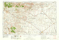
1962 · Dalhart
USGS Topo · 1:250,000
1964 · Stratford 2 SE
USGS Topo · 1:24,000
1964 · Stratford 2 NE
USGS Topo · 1:24,000
1969 · Boise City SE
USGS Topo · 1:24,000
1971 · Conrad SW
USGS Topo · 1:24,000
1971 · Conrad
USGS Topo · 1:24,000
1973 · Stratford 2 NW
USGS Topo · 1:24,000
1973 · Coldwater East
USGS Topo · 1:24,000