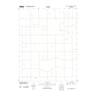
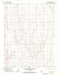
2010 Map of North of Sand Creek
USGS Topo · Published 2010About this map
Dikeman Airport sits in the southwestern corner of this high plains landscape, a singular landmark in an area dominated by an orderly grid of section-line roads. This part of Hamilton County is defined by the ephemeral passage of Mattox Draw, which meanders across the upper half of the quadrangle. The terrain is organized by a systematic network of routes including Rd 3, Rd 6, and Road S, reflecting the expansive agricultural layout of western Kansas in the early 21st century. The sparse distribution of named features underscores the rural character of the region, where infrastructure is primarily dedicated to large-scale ranching or farming and regional aviation.
Find a feature on this map
16 named features on this map. Tap any name to fly to it.
Don’t see what you’re looking for? This feature index may not catch every label — zoom into the map to look around manually.
Map Details
Editions of this 2010 North of Sand Creek Map
This is the sole edition of this map. No revisions or reprints were ever made.
Other maps of this area

1955 · Scott City
USGS Topo · 1:250,000

1958 · Scott City
USGS Topo · 1:250,000

1966 · Tribune 4 NW
USGS Topo · 1:24,000
1966 · Tribune 3 SE
USGS Topo · 1:24,000
1966 · Tribune 3 NE
USGS Topo · 1:24,000
1966 · Tribune 4 SE
USGS Topo · 1:24,000

1966 · Tribune 4 NE
USGS Topo · 1:24,000
1966 · Tribune 4 SW
USGS Topo · 1:24,000

1970 · Selkirk SW
USGS Topo · 1:24,000

1970 · Selkirk SE
USGS Topo · 1:24,000