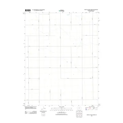
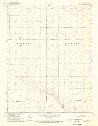
2012 Map of North of Sand Creek
USGS Topo · Published 2012About this map
Hamilton County's western Kansas high plains are defined by a meticulous grid of rural transport routes in this 2012 survey. The landscape is dominated by a systematic network of county roads, including the primary north-south corridors of Co Road Q and Co Road S, which intersect with east-west routes like Co Road 3 and Co Road 7. These section-line roads reveal the enduring influence of the Public Land Survey System on the region's agricultural development. While the terrain is characterized by subtle drainage patterns, the human imprint is almost entirely defined by this rigid infrastructure, with Co Road V marking the eastern extent of the study area and Co Road 10 defining the southern boundary. This map provides a clear record of the modern rural infrastructure used to navigate the vast agricultural expanses north of Sand Creek.
Find a feature on this map
16 named features on this map. Tap any name to fly to it.
Don’t see what you’re looking for? This feature index may not catch every label — zoom into the map to look around manually.
Map Details
Editions of this 2012 North of Sand Creek Map
This is the sole edition of this map. No revisions or reprints were ever made.
Other maps of this area

1955 · Scott City
USGS Topo · 1:250,000

1958 · Scott City
USGS Topo · 1:250,000
1966 · Tribune 4 NW
USGS Topo · 1:24,000
1966 · Tribune 3 SE
USGS Topo · 1:24,000
1966 · Tribune 3 NE
USGS Topo · 1:24,000
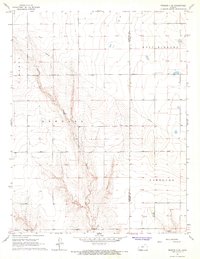
1966 · Tribune 4 SE
USGS Topo · 1:24,000
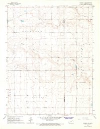
1966 · Tribune 4 NE
USGS Topo · 1:24,000
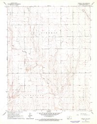
1966 · Tribune 4 SW
USGS Topo · 1:24,000
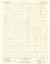
1970 · Selkirk SW
USGS Topo · 1:24,000
1970 · Selkirk SE
USGS Topo · 1:24,000