
1955 Map of North Ogden
USGS Topo · Published 1956About this map
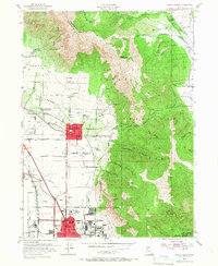
Ben Lomond towers over the growing communities of the Wasatch Front in the mid-1950s, anchoring a landscape where agricultural heritage meets post-war suburban expansion. The State Agric College Experimental Sta and various irrigation works like the Western Canal and Union Canal reflect the area's intensive land use, while industrial development is visible at the Brick Factory and local Gravel Pit.
Find a feature on this map
71 named features on this map. Tap any name to fly to it.
Don’t see what you’re looking for? This feature index may not catch every label — zoom into the map to look around manually.
Map Details
Editions of this 1955 North Ogden Map
5 editions found
Other maps of this area

1954 · Ogden
USGS Topo · 1:250,000

1954 · Brigham City
USGS Topo · 1:250,000

1955 · Ogden
USGS Topo · 1:24,000

1955 · Plain City
USGS Topo · 1:24,000

1955 · Roy
USGS Topo · 1:24,000

1955 · Mantua
USGS Topo · 1:24,000

1955 · Huntsville
USGS Topo · 1:24,000

1955 · James Peak
USGS Topo · 1:24,000

1955 · Willard
USGS Topo · 1:24,000

1955 · Snow Basin
USGS Topo · 1:24,000