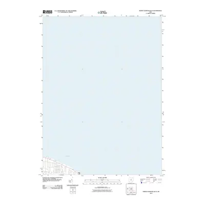
2010 Map of North Olmsted OE N
USGS Topo · Published 2010About this map
Lake Erie dominates the northern expanse of this coastal study, where the waters of the Great Lakes meet the developed shoreline of northern Ohio. The map captures a high-altitude perspective of the lakefront, revealing the coastal interface near the residential and recreational landmark at Eagle Cliff. Published in 2010 by the U.S. Geological Survey, this sheet illustrates the grid of streets and shoreline access points along the southern coast of the lake. The focus is primarily on the vast hydrographic character of the region and the immediate coastal topography that defines the edge of Lorain County.
Find a feature on this map
2 named features on this map. Tap any name to fly to it.
Don’t see what you’re looking for? This feature index may not catch every label — zoom into the map to look around manually.
Map Details
Editions of this 2010 North Olmsted OE N Map
This is the sole edition of this map. No revisions or reprints were ever made.
Other maps of this area

1901 · Oberlin
USGS Topo · 1:62,500

1902 · Berea
USGS Topo · 1:62,500

1903 · Oberlin
USGS Topo · 1:62,500

1904 · Berea
USGS Topo · 1:62,500

1950 · Cleveland
USGS Topo · 1:250,000

1953 · Avon
USGS Topo · 1:24,000
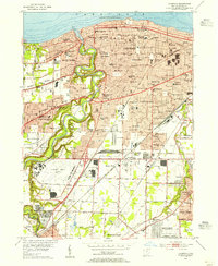
1953 · Lakewood
USGS Topo · 1:24,000
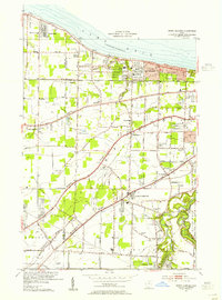
1953 · North Olmsted
USGS Topo · 1:24,000

1956 · Cleveland
USGS Topo · 1:250,000

1956 · Toledo
USGS Topo · 1:250,000