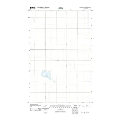
2011 Map of North Salt Lake
USGS Topo · Published 2011About this map
North Salt Lake and its surrounding prairie wetlands dominate this Walsh County landscape. The area is defined by a strictly organized section-line grid of rural roads, including 83rd St Ne and 155th Ave Ne, which facilitate access across this agricultural expanse. The hydrological profile is shaped by the presence of Willow Creek, which meanders through the eastern and central portions of the quadrangle. As of 2011, the terrain shows very little human development beyond the established road network, such as County Rd 4, highlighting the preserved rural character of this northern Dakota region. This survey captures the precise relationship between the water levels of the lake and the agricultural infrastructure that surrounds it.
Find a feature on this map
14 named features on this map. Tap any name to fly to it.
Don’t see what you’re looking for? This feature index may not catch every label — zoom into the map to look around manually.
Map Details
Editions of this 2011 North Salt Lake Map
This is the sole edition of this map. No revisions or reprints were ever made.
Other maps of this area

1918 · Acton
USGS Topo · 1:62,500

1939 · Drayton
USGS Topo · 1:62,500

1939 · Glasston
USGS Topo · 1:62,500

1941 · Drayton
USGS Topo · 1:62,500

1941 · Glasston
USGS Topo · 1:62,500

1943 · Grafton
USGS Topo · 1:62,500

1952 · Thief River Falls
USGS Topo · 1:250,000

1956 · Thief River Falls
USGS Topo · 1:250,000

1957 · Thief River Falls
USGS Topo · 1:250,000

1960 · Grafton
USGS Topo · 1:24,000