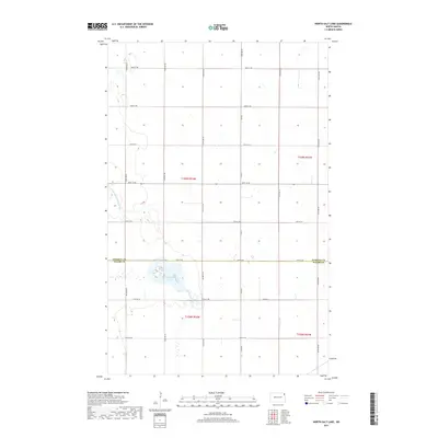
2017 Map of North Salt Lake
USGS Topo · Published 2017About this map
North Salt Lake and the surrounding agricultural grid dominate this landscape along the border of Pembina Co and Walsh Co. The terrain is defined by a rigorous network of section-line roads and drainage infrastructure, such as County Ditch Number 67A, which reflects the managed hydrology of this Red River Valley region. While the namesake North Salt Lake provides a natural break in the pattern, the area is primarily structured by township lines and gravel routes like Co Rd 4 and Co Rd 7. This 2017 survey shows the persistent layout of the Public Land Survey System, with township designations t159n r52w and t158n r52w marking the steady progression of farmland. To the east, Willow Creek meanders across the plain, illustrating the subtle natural drainage that remains amidst the extensive modern ditching systems.
Find a feature on this map
24 named features on this map. Tap any name to fly to it.
Don’t see what you’re looking for? This feature index may not catch every label — zoom into the map to look around manually.
Map Details
Editions of this 2017 North Salt Lake Map
This is the sole edition of this map. No revisions or reprints were ever made.
Other maps of this area
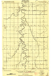
1918 · Acton
USGS Topo · 1:62,500
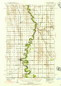
1939 · Drayton
USGS Topo · 1:62,500
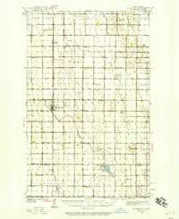
1939 · Glasston
USGS Topo · 1:62,500
1941 · Drayton
USGS Topo · 1:62,500
1941 · Glasston
USGS Topo · 1:62,500
1943 · Grafton
USGS Topo · 1:62,500

1952 · Thief River Falls
USGS Topo · 1:250,000

1956 · Thief River Falls
USGS Topo · 1:250,000

1957 · Thief River Falls
USGS Topo · 1:250,000
1960 · Grafton
USGS Topo · 1:24,000