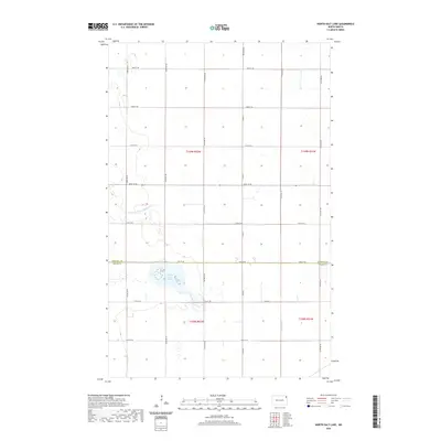
2020 Map of North Salt Lake
USGS Topo · Published 2020About this map
North Salt Lake sits at the heart of this landscape, marking a significant hydrological feature in the eastern plains of Walsh and Pembina counties. The terrain is characterized by a precise grid of rural routes, including Co Rd 4 and 154th Ave NE, which divide the agricultural sections of the Red River Valley. The presence of County Ditch Number 67 A and Willow Cr highlights the managed drainage systems essential to this region's farming heritage. Crossing the northern portion of the map is the border between Pembina Co and Walsh Co, showing how political boundaries intersect with the natural lowlands and seasonal wetlands of the prairie.
Find a feature on this map
24 named features on this map. Tap any name to fly to it.
Don’t see what you’re looking for? This feature index may not catch every label — zoom into the map to look around manually.
Map Details
Editions of this 2020 North Salt Lake Map
This is the sole edition of this map. No revisions or reprints were ever made.
Other maps of this area

1918 · Acton
USGS Topo · 1:62,500

1939 · Drayton
USGS Topo · 1:62,500

1939 · Glasston
USGS Topo · 1:62,500

1941 · Drayton
USGS Topo · 1:62,500

1941 · Glasston
USGS Topo · 1:62,500

1943 · Grafton
USGS Topo · 1:62,500

1952 · Thief River Falls
USGS Topo · 1:250,000

1956 · Thief River Falls
USGS Topo · 1:250,000

1957 · Thief River Falls
USGS Topo · 1:250,000

1960 · Grafton
USGS Topo · 1:24,000