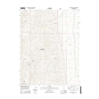
2014 Map of North Schell Peak
USGS Topo · Published 2014About this map
North Schell Peak anchors this high-elevation landscape within the Humboldt National Forest, where the complex drainage patterns of the Schell Creek Range meet the broad expanse of Spring Valley. The eastern slopes are carved by numerous waterways, including Piermont Cr, Bassett Cr, and Little Negro Cr, which flow toward the valley floor from the steep mountain terrain. Historical land management and access are evident through the network of forest roads such as Piermont Creek Rd and NF-567. The rugged geography is further defined by deep cuts like Snake Canyon and Ostergard Canyon, illustrating the dramatic vertical relief that characterizes this portion of White Pine County. This survey provides a precise look at the wilderness and resource management boundaries as they existed in the early 21st century, showing the intersection of natural topography and federal land oversight.
Find a feature on this map
23 named features on this map. Tap any name to fly to it.
Don’t see what you’re looking for? This feature index may not catch every label — zoom into the map to look around manually.
Map Details
Editions of this 2014 North Schell Peak Map
This is the sole edition of this map. No revisions or reprints were ever made.
Other maps of this area
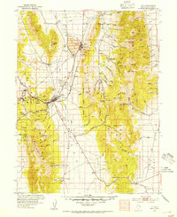
1952 · Ely
USGS Topo · 1:125,000

1956 · Ely
USGS Topo · 1:250,000

1959 · Ely
USGS Topo · 1:250,000
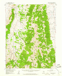
1959 · Schell Peaks
USGS Topo · 1:62,500

1963 · Ely
USGS Topo · 1:250,000
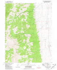
1981 · North Schell Peak
USGS Topo · 1:24,000
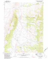
1981 · Duck Creek Valley
USGS Topo · 1:24,000
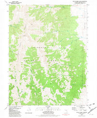
1981 · South Schell Peak
USGS Topo · 1:24,000
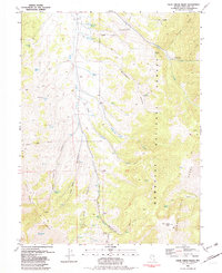
1981 · Cleve Creek Baldy
USGS Topo · 1:24,000
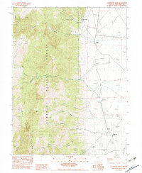
1982 · Kalamazoo Creek
USGS Topo · 1:24,000