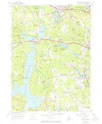
1955 Map of North Scituate
USGS Topo · Published 1973About this map
The expansive Scituate Reservoir dominates this Rhode Island landscape, reflecting a mid-century infrastructure that reshaped the region's topography. Controlled by the Gainer Memorial Dam and supported by a large Filtration Plant, the reservoir system serves as the central geographic anchor for the surrounding rural and suburbanizing communities. The village of North Scituate sits at the northern tip of the water, where the Danielson Pike and Hartford Pike converge, marking a historic junction for travelers heading west from Providence.
Find a feature on this map
78 named features on this map. Tap any name to fly to it.
Don’t see what you’re looking for? This feature index may not catch every label — zoom into the map to look around manually.
Map Details
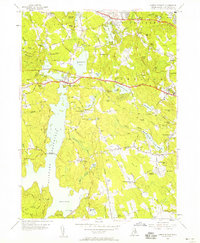
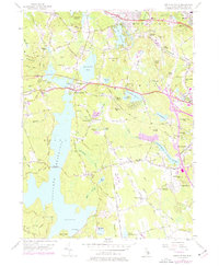
Editions of this 1955 North Scituate Map
3 editions found
Other maps of this area

1887 · Providence
USGS Topo · 1:62,500

1889 · Providence
USGS Topo · 1:62,500

1889 · Burrillville
USGS Topo · 1:62,500

1890 · Narragansett Bay
USGS Topo · 1:62,500

1890 · Kent
USGS Topo · 1:62,500

1892 · Narragansett Bay
USGS Topo · 1:62,500

1894 · Burrillville
USGS Topo · 1:62,500

1894 · Kent
USGS Topo · 1:62,500

1894 · Providence
USGS Topo · 1:62,500

1915 · Burrillville
USGS Topo · 1:62,500