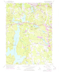
1955 Map of North Scituate
USGS Topo · Published 1976About this map
The vast Scituate Reservoir dominates this Rhode Island landscape, its waters held by the Gainer Memorial Dam and traversed by the Ashland Causeway. The surrounding hills of Scituate and Johnston are marked by a transition from traditional rural crossroad settlements to mid-century development. Evidence of earlier community life is found at the Scituate Town House and institutional landmarks like the Waterman Industrial Sch and the Pippin Orchard Sch. While arterial routes like the Hartford Pike and Danielson Pike connect the region to the urban centers of Providence, the interior remains defined by numerous smaller water bodies including Moswansicut Pond and Waterman Reservoir. Notable local features range from the National Guard post near North Scituate to the recreation grounds at Camp Massasoit.
Find a feature on this map
68 named features on this map. Tap any name to fly to it.
Don’t see what you’re looking for? This feature index may not catch every label — zoom into the map to look around manually.
Map Details
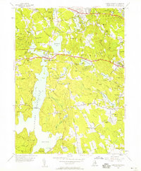
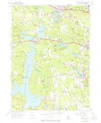
Editions of this 1955 North Scituate Map
3 editions found
Other maps of this area

1887 · Providence
USGS Topo · 1:62,500

1889 · Providence
USGS Topo · 1:62,500

1889 · Burrillville
USGS Topo · 1:62,500

1890 · Narragansett Bay
USGS Topo · 1:62,500

1890 · Kent
USGS Topo · 1:62,500

1892 · Narragansett Bay
USGS Topo · 1:62,500

1894 · Burrillville
USGS Topo · 1:62,500

1894 · Kent
USGS Topo · 1:62,500

1894 · Providence
USGS Topo · 1:62,500

1915 · Burrillville
USGS Topo · 1:62,500