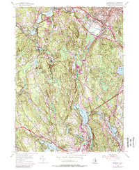
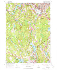
1954 Map of Georgiaville
USGS Topo · Published 1988About this map
Georgiaville and its surrounding mill villages define this northern Rhode Island landscape as it appeared in the mid-20th century. The Woonasquatucket River powers a series of industrial-era water bodies, including Stillwater Reservoir and Georgiaville Pond, which anchored local manufacturing. These settlements are interspersed with numerous granite heights such as Wionkhiege Hill and Forge Hill, reflecting the characteristic upland topography of the region.
Find a feature on this map
49 named features on this map. Tap any name to fly to it.
Don’t see what you’re looking for? This feature index may not catch every label — zoom into the map to look around manually.
Map Details
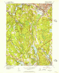
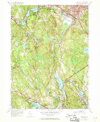
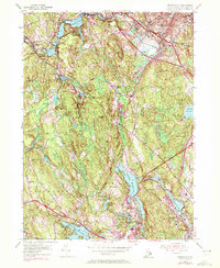
Editions of this 1954 Georgiaville Map
5 editions found
Other maps of this area

1886 · Blackstone
USGS Topo · 1:62,500

1887 · Franklin
USGS Topo · 1:62,500

1887 · Providence
USGS Topo · 1:62,500

1889 · Providence
USGS Topo · 1:62,500

1889 · Blackstone
USGS Topo · 1:62,500

1889 · Franklin
USGS Topo · 1:62,500

1889 · Burrillville
USGS Topo · 1:62,500

1893 · Franklin
USGS Topo · 1:62,500

1893 · Blackstone
USGS Topo · 1:62,500

1894 · Burrillville
USGS Topo · 1:62,500