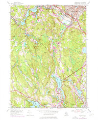
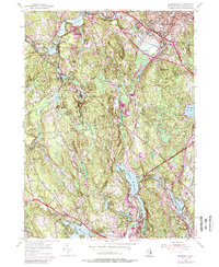
1954 Map of Georgiaville
USGS Topo · Published 1976About this map
Industrial villages and reservoirs dominate the drainage basins of the Branch River and Woonasquatucket River in northern Rhode Island. Centered on the town of Smithfield, the landscape reflects a heritage of water-powered industry, with numerous small settlements clustered around mill sites such as Slatersville, Esmond, and Forestdale. The 1970s revisions, noted in purple, illustrate the suburban intensification near the Woonsocket City Boundary, contrasting with the more wooded and hilly terrain of Burrillville and Glocester. Distinctive local landmarks including The Shrine near Mohegan and the Union Chapel near Forge Hill provide specific points of interest for genealogists tracing family locations. The extensive network of water bodies, from the Stillwater Reservoir to the Waterman Reservoir, highlights the region's managed hydrology and historical dependence on these basins for community growth and manufacturing power.
Find a feature on this map
66 named features on this map. Tap any name to fly to it.
Don’t see what you’re looking for? This feature index may not catch every label — zoom into the map to look around manually.
Map Details
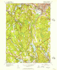
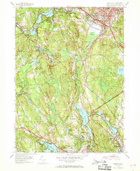
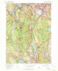
Editions of this 1954 Georgiaville Map
5 editions found
Other maps of this area

1886 · Blackstone
USGS Topo · 1:62,500

1887 · Franklin
USGS Topo · 1:62,500

1887 · Providence
USGS Topo · 1:62,500

1889 · Providence
USGS Topo · 1:62,500

1889 · Blackstone
USGS Topo · 1:62,500

1889 · Franklin
USGS Topo · 1:62,500

1889 · Burrillville
USGS Topo · 1:62,500

1893 · Franklin
USGS Topo · 1:62,500

1893 · Blackstone
USGS Topo · 1:62,500

1894 · Burrillville
USGS Topo · 1:62,500