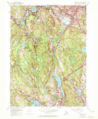
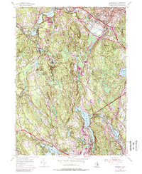
1954 Map of Georgiaville
USGS Topo · Published 1972About this map
Slatersville and the industrial corridors of the Branch River define this portion of Providence County as it transitioned through the mid-20th century. The landscape is a network of reservoir-fed mill towns including Forestdale, Georgiaville, and Esmond, where the water power of the Woonasquatucket River and its tributaries historically drove local manufacturing. Inland, the terrain rises toward Black Plain Hill and Nipsachuck Hill, revealing a mosaic of swamps and upland ridges that hem in smaller settlements like Tarkiln and Primrose.
Find a feature on this map
64 named features on this map. Tap any name to fly to it.
Don’t see what you’re looking for? This feature index may not catch every label — zoom into the map to look around manually.
Map Details
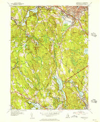
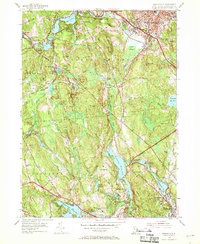
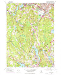
Editions of this 1954 Georgiaville Map
5 editions found
Other maps of this area

1886 · Blackstone
USGS Topo · 1:62,500

1887 · Franklin
USGS Topo · 1:62,500

1887 · Providence
USGS Topo · 1:62,500

1889 · Providence
USGS Topo · 1:62,500

1889 · Blackstone
USGS Topo · 1:62,500

1889 · Franklin
USGS Topo · 1:62,500

1889 · Burrillville
USGS Topo · 1:62,500

1893 · Franklin
USGS Topo · 1:62,500

1893 · Blackstone
USGS Topo · 1:62,500

1894 · Burrillville
USGS Topo · 1:62,500