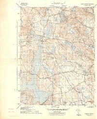
1943 Map of North Scituate
USGS Topo · Published 1943About this map
Scituate Reservoir dominates this landscape, its expansive waters following the natural drainage of Moswansicut Brook and Quonopaug Brook. The 1943 topography shows the infrastructure of the era, including the Filtration Plant and Fire Tower near Tunk Hill. Villages like North Scituate and Greenville serve as hubs connected by major thoroughfares such as Hartford Pike and Plainfield Pike.
Find a feature on this map
62 named features on this map. Tap any name to fly to it.
Don’t see what you’re looking for? This feature index may not catch every label — zoom into the map to look around manually.
Map Details
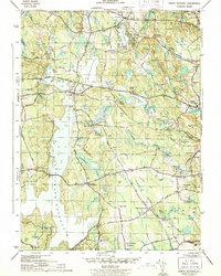
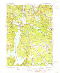
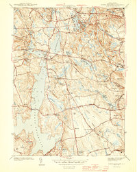
Editions of this 1943 North Scituate Map
4 editions found
Other maps of this area

1887 · Providence
USGS Topo · 1:62,500

1889 · Providence
USGS Topo · 1:62,500

1889 · Burrillville
USGS Topo · 1:62,500

1890 · Narragansett Bay
USGS Topo · 1:62,500

1890 · Kent
USGS Topo · 1:62,500

1892 · Narragansett Bay
USGS Topo · 1:62,500

1894 · Burrillville
USGS Topo · 1:62,500

1894 · Kent
USGS Topo · 1:62,500

1894 · Providence
USGS Topo · 1:62,500

1915 · Burrillville
USGS Topo · 1:62,500