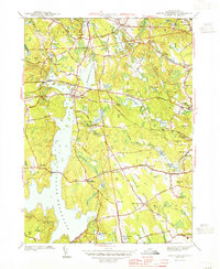
1943 Map of North Scituate
USGS Topo · Published 1943About this map
The Scituate Reservoir dominates the western half of this Providence County landscape, its sprawling waters having reshaped the rural character of the region by the early 1940s. The village of North Scituate stands as a primary hub, situated near the intersection of the Danielson Pike and Hartford Pike. This area reflects a mid-century balance between traditional settlement patterns and the growing infrastructure required for municipal water management, evidenced by the large Filtration Plant near the southern boundary. To the east, the terrain is characterized by numerous smaller water bodies and hills like Snake Den and Secesakut Hill. Local history is preserved in the placement of several burial grounds, including Smithville Cem and Glenford Cem, while the agrarian and residential roots of the county are highlighted by landmarks such as the Pippin Orchard Sch and the Scituate Town House.
Find a feature on this map
78 named features on this map. Tap any name to fly to it.
Don’t see what you’re looking for? This feature index may not catch every label — zoom into the map to look around manually.
Map Details
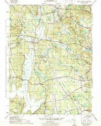
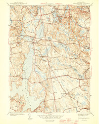
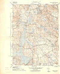
Editions of this 1943 North Scituate Map
4 editions found
Other maps of this area

1887 · Providence
USGS Topo · 1:62,500

1889 · Providence
USGS Topo · 1:62,500

1889 · Burrillville
USGS Topo · 1:62,500

1890 · Narragansett Bay
USGS Topo · 1:62,500

1890 · Kent
USGS Topo · 1:62,500

1892 · Narragansett Bay
USGS Topo · 1:62,500

1894 · Burrillville
USGS Topo · 1:62,500

1894 · Kent
USGS Topo · 1:62,500

1894 · Providence
USGS Topo · 1:62,500

1915 · Burrillville
USGS Topo · 1:62,500