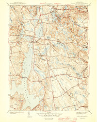
1943 Map of North Scituate
USGS Topo · Published 1943About this map
The massive Scituate Reservoir dominates this wartime landscape, having fundamentally reshaped the hydrology of the region to provide water for the city of Providence. The map captures a mix of industrial water management and rural New England village life, centered around North Scituate and the smaller settlements of Saundersville and Greenville. Several reservoirs like the Slack Reservoir and Simmons Lower Reservoir point to the historic reliance on local waterways like the Woonasquatucket River for mill power and municipal supply. For genealogists, the survey identifies critical landmarks including Smithville Cem, Glenford Cem, and local schoolhouses such as the Brown Ave Sch. The topography is defined by significant elevations like Secesakut Hill and Snake Den, while the Filtration Plant near the reservoir dam indicates the early 1940s infrastructure supporting the growing metropolitan population to the east.
Find a feature on this map
69 named features on this map. Tap any name to fly to it.
Don’t see what you’re looking for? This feature index may not catch every label — zoom into the map to look around manually.
Map Details
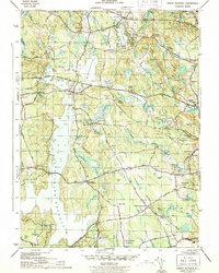
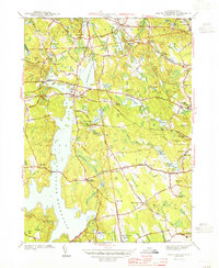
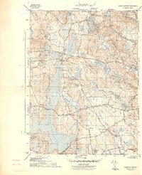
Editions of this 1943 North Scituate Map
4 editions found
Other maps of this area

1887 · Providence
USGS Topo · 1:62,500

1889 · Providence
USGS Topo · 1:62,500

1889 · Burrillville
USGS Topo · 1:62,500

1890 · Narragansett Bay
USGS Topo · 1:62,500

1890 · Kent
USGS Topo · 1:62,500

1892 · Narragansett Bay
USGS Topo · 1:62,500

1894 · Burrillville
USGS Topo · 1:62,500

1894 · Kent
USGS Topo · 1:62,500

1894 · Providence
USGS Topo · 1:62,500

1915 · Burrillville
USGS Topo · 1:62,500