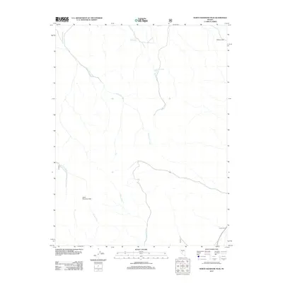
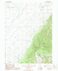
2012 Map of North Shoshone Peak
USGS Topo · Published 2012About this map
North Shoshone Peak anchors this high-elevation landscape in central Nevada, where a network of seasonal drainages and isolated water sources define the geography. The map shows a transition from the prominent peak down through drainages like Becker Creek and Riley Creek, highlighting the critical role of water in this arid environment. Evidence of human presence is concentrated around the Whaley Ranch and specific water points such as Lower Cole Camp Spring and Upper Cole Camp Springs. These springs and creek beds, including Schoonover Creek and Birchim Creek, provided the necessary resources for early ranching and passage through the territory. Strategic mountain crossings like Elkhorn Pass and the route of Peterson Creek further illustrate the historical movement patterns of livestock and travelers through the Great Basin terrain.
Find a feature on this map
12 named features on this map. Tap any name to fly to it.
Don’t see what you’re looking for? This feature index may not catch every label — zoom into the map to look around manually.
Map Details
Editions of this 2012 North Shoshone Peak Map
This is the sole edition of this map. No revisions or reprints were ever made.
Other maps of this area

1955 · Millett
USGS Topo · 1:250,000
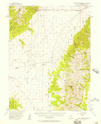
1956 · South Shoshone Peak
USGS Topo · 1:62,500
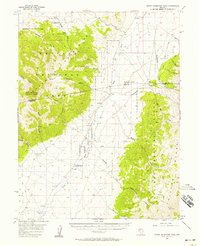
1956 · North Shoshone Peak
USGS Topo · 1:62,500

1959 · Millett
USGS Topo · 1:250,000
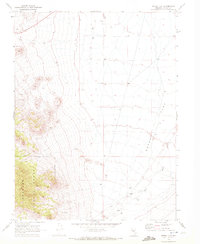
1969 · Dutch Flat
USGS Topo · 1:24,000
1969 · Iron Mountain
USGS Topo · 1:24,000
1969 · Carroll Summit SE
USGS Topo · 1:24,000
1985 · Smith Creek Valley
USGS Topo · 1:100,000
1988 · Tierney Creek
USGS Topo · 1:24,000
1988 · Gold Park
USGS Topo · 1:24,000