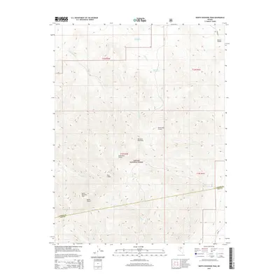
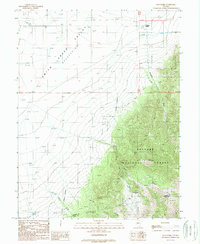
2015 Map of North Shoshone Peak
USGS Topo · Published 2015About this map
North Shoshone Peak stands as the primary landmark in this high-elevation portion of the Toiyabe National Forest. The landscape is defined by the sharp relief of the Shoshone Mountains, where deep drainage systems like Underdown Canyon, Riley Canyon, and Becker Canyon cut through the terrain. Evidence of seasonal water and early stock-raising or camping sites is found in labels such as Upper Cole Camp Springs and Lower Cole Camp Spring, providing tangible points for those tracing the history of land use in this part of the Great Basin. Small streams like Schoonover Cr and Birchim Cr navigate the complex topography, while the boundary between Lander and Nye counties crosses the southern portion of the quadrangle. Sparse road access via Ione Rd and Elkhorn Rd highlights the isolated nature of this mountain range in the early 21st century.
Find a feature on this map
22 named features on this map. Tap any name to fly to it.
Don’t see what you’re looking for? This feature index may not catch every label — zoom into the map to look around manually.
Map Details
Editions of this 2015 North Shoshone Peak Map
This is the sole edition of this map. No revisions or reprints were ever made.
Other maps of this area

1955 · Millett
USGS Topo · 1:250,000
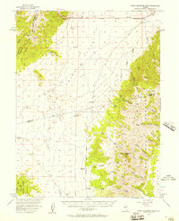
1956 · South Shoshone Peak
USGS Topo · 1:62,500
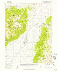
1956 · North Shoshone Peak
USGS Topo · 1:62,500

1959 · Millett
USGS Topo · 1:250,000
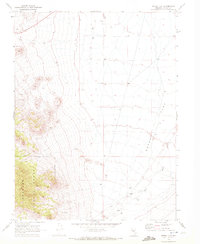
1969 · Dutch Flat
USGS Topo · 1:24,000
1969 · Iron Mountain
USGS Topo · 1:24,000
1969 · Carroll Summit SE
USGS Topo · 1:24,000
1985 · Smith Creek Valley
USGS Topo · 1:100,000
1988 · Tierney Creek
USGS Topo · 1:24,000
1988 · Gold Park
USGS Topo · 1:24,000