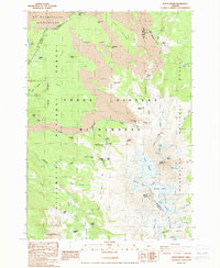
1988 Map of North Sister
USGS Topo · Published 1988About this map
North Sister and Middle Sister dominate this high-altitude landscape along the boundary of Lane and Deschutes counties. The 1988 survey documents a region defined by active geological features and mountaineering history, including the expansive Collier Glacier and several smaller ice masses like the Hayden Glacier and Renfrew Glacier. Human history is marked by isolated memorials and shelters, such as the Craig Grave near the northern boundary and the Bronaugh Memorial Plaque situated near Obsidian Falls. The terrain is characterized by dramatic volcanic formations, including the Four In One Cone, Collier Cone, and the Ahalapam Cinder Field. This map serves as a detailed record of the high Cascades before the significant glacial recession of the late 20th century, tracing the route of the Pacific Crest National Scenic Trail as it passes through the Three Sisters Wilderness.
Find a feature on this map
59 named features on this map. Tap any name to fly to it.
Don’t see what you’re looking for? This feature index may not catch every label — zoom into the map to look around manually.
Map Details
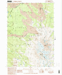
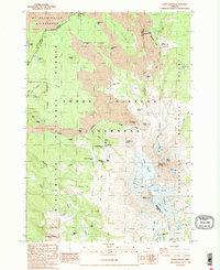
Editions of this 1988 North Sister Map
3 editions found
Other maps of this area

1929 · Three Sisters
USGS Topo · 1:125,000

1932 · Three Sisters
USGS Topo · 1:125,000

1955 · Bend
USGS Topo · 1:250,000

1957 · Bend
USGS Topo · 1:250,000

1958 · Bend
USGS Topo · 1:250,000

1959 · Broken Top
USGS Topo · 1:62,500
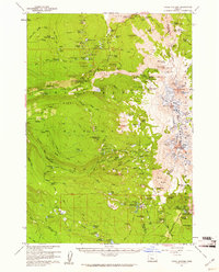
1959 · Three Sisters
USGS Topo · 1:62,500

1959 · Three Fingered Jack
USGS Topo · 1:62,500

1959 · Sisters
USGS Topo · 1:62,500
1980 · Bend
USGS Topo · 1:100,000