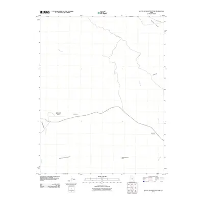
2011 Map of North Six-shooter Peak
USGS Topo · Published 2011About this map
North Sixshooter Peak stands as a prominent landmark in this desert landscape of San Juan County, Utah, where the drainages of Indian Creek and Salt Creek have carved a network of canyons and plateaus. The topography is defined by massive formations such as Hatch Point and the vast Salt Creek Pocket, illustrating the erosion patterns characteristic of the Colorado Plateau.
Find a feature on this map
13 named features on this map. Tap any name to fly to it.
Don’t see what you’re looking for? This feature index may not catch every label — zoom into the map to look around manually.
Map Details
Editions of this 2011 North Six-shooter Peak Map
This is the sole edition of this map. No revisions or reprints were ever made.
Other maps of this area
1885 · La Sal
USGS Topo · 1:250,000
1951 · Upheaval Dome
USGS Topo · 1:62,500
1952 · Carlisle 2 SE
USGS Topo · 1:24,000
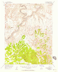
1953 · The Needles
USGS Topo · 1:62,500
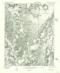
1954 · Carlisle 4 SW
USGS Topo · 1:24,000
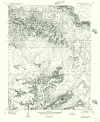
1954 · Carlisle 4 NW
USGS Topo · 1:24,000
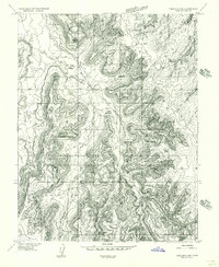
1954 · Carlisle 4 SE
USGS Topo · 1:24,000
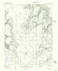
1954 · Carlisle 1 SE
USGS Topo · 1:24,000
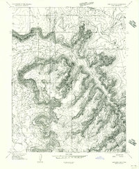
1954 · Carlisle 4 NE
USGS Topo · 1:24,000
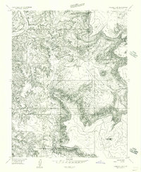
1954 · Carlisle 1 SW
USGS Topo · 1:24,000