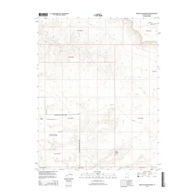
2014 Map of North Six-shooter Peak
USGS Topo · Published 2014About this map
Canyonlands National Park dominates the southern half of this landscape, where the sharp verticality of the desert terrain is defined by landmarks like North Six-shooter Peak. The area is a labyrinth of deep drainage systems, including the winding Indian Cr and Salt Cr, which carve through the high plateaus and basins. Human presence is concentrated along the Park Hwy and at Needles Outpost, serving as the gateway to the remote backcountry. High-elevation features like Salt Creek Pocket and Harts Draw illustrate the complex topography of San Juan County, where primitive routes such as Rustlers Rd and Needles Overlook Rd provide the only access to the dramatic overlooks of Squaw Canyon and Horse Canyon.
Find a feature on this map
17 named features on this map. Tap any name to fly to it.
Don’t see what you’re looking for? This feature index may not catch every label — zoom into the map to look around manually.
Map Details
Editions of this 2014 North Six-shooter Peak Map
This is the sole edition of this map. No revisions or reprints were ever made.
Other maps of this area
1885 · La Sal
USGS Topo · 1:250,000
1951 · Upheaval Dome
USGS Topo · 1:62,500
1952 · Carlisle 2 SE
USGS Topo · 1:24,000
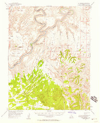
1953 · The Needles
USGS Topo · 1:62,500
1954 · Carlisle 4 SW
USGS Topo · 1:24,000
1954 · Carlisle 4 NW
USGS Topo · 1:24,000
1954 · Carlisle 4 SE
USGS Topo · 1:24,000
1954 · Carlisle 1 SE
USGS Topo · 1:24,000
1954 · Carlisle 4 NE
USGS Topo · 1:24,000
1954 · Carlisle 1 SW
USGS Topo · 1:24,000