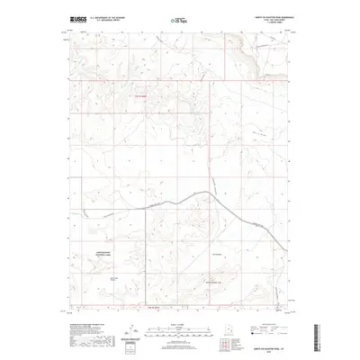
2020 Map of North Six-shooter Peak
USGS Topo · Published 2020About this map
North Six-shooter Peak rises as a prominent landmark in this desert landscape, which sits largely within the boundaries of Canyonlands National Park. This 2020 survey documents the intersection of modern access roads and ancient geological formations, with Federal Rte 2444 and Lockhart Road providing the primary transit through the area. The terrain is defined by dramatic depressions and basins, including Corral Pocket and Salt Creek Pocket, which gather drainage from seasonal waterways like Indian Cr and Salt Cr. The presence of the Needles Outpost at the junction of Needles Main Park road indicates the primary entry point for researchers and visitors exploring the park's iconic Needles District. To the east, the topography transitions into the steep descent of Davis Canyon and the broad reach of Harts Draw, illustrating the complex erosional patterns that characterize this portion of San Juan County.
Find a feature on this map
17 named features on this map. Tap any name to fly to it.
Don’t see what you’re looking for? This feature index may not catch every label — zoom into the map to look around manually.
Map Details
Editions of this 2020 North Six-shooter Peak Map
This is the sole edition of this map. No revisions or reprints were ever made.
Other maps of this area
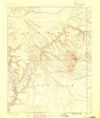
1885 · La Sal
USGS Topo · 1:250,000
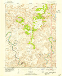
1951 · Upheaval Dome
USGS Topo · 1:62,500
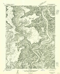
1952 · Carlisle 2 SE
USGS Topo · 1:24,000
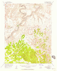
1953 · The Needles
USGS Topo · 1:62,500
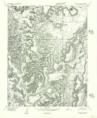
1954 · Carlisle 4 SW
USGS Topo · 1:24,000
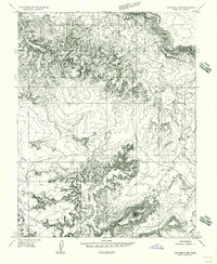
1954 · Carlisle 4 NW
USGS Topo · 1:24,000
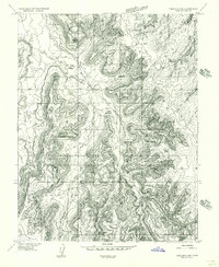
1954 · Carlisle 4 SE
USGS Topo · 1:24,000
1954 · Carlisle 1 SE
USGS Topo · 1:24,000
1954 · Carlisle 4 NE
USGS Topo · 1:24,000
1954 · Carlisle 1 SW
USGS Topo · 1:24,000