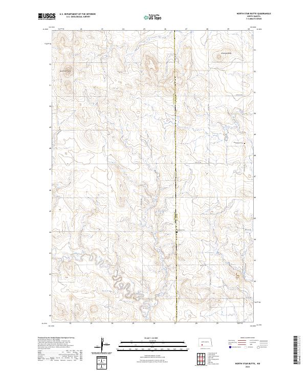
2024 Map of North Star Butte
USGS Topo · Published 2024About this map
North Star Butte and Antelope Butte dominate this landscape in the northern Great Plains, marking a region where the high prairie begins to break toward the drainage of Thirtymile Creek. This area on the border of Grant and Hettinger Counties is defined by its vast agricultural sections and a network of section-line roads, including 78th Ave SW and 67th St SW. The presence of Philadelphia Cem and Ebenezer Cem provides a specialized record of the early prairie congregations and rural communities that settled these townships. The intricate contouring reveals the subtle draws and ridges typical of this part of North Dakota, showing the relationship between the elevated buttes and the meandering creek beds that shaped the settlement patterns of the region.
Find a feature on this map
19 named features on this map. Tap any name to fly to it.
Don’t see what you’re looking for? This feature index may not catch every label — zoom into the map to look around manually.
Map Details
Editions of this 2024 North Star Butte Map
This is the sole edition of this map. No revisions or reprints were ever made.
Other maps of this area

1938 · Heart Butte
USGS Topo · 1:48,000

1944 · Heart Butte
USGS Topo · 1:62,500

1953 · Dickinson
USGS Topo · 1:250,000

1954 · Bismarck
USGS Topo · 1:250,000

1957 · Dickinson
USGS Topo · 1:250,000

1958 · Bismarck
USGS Topo · 1:250,000

1960 · Clark Butte SW
USGS Topo · 1:24,000

1960 · Clark Butte
USGS Topo · 1:24,000

1969 · Burt
USGS Topo · 1:24,000

1969 · North Star Butte
USGS Topo · 1:24,000