
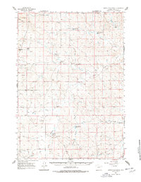
1959 Map of North Star School
USGS Topo · Published 1962About this map
Scattered ranching homesteads and seasonal water resources define this late 1950s landscape in Campbell County. The map provides a detailed view of the regional pastoral economy, anchored by family-operated sites such as Ohman Ranch, Lee Wright Ranch, and Marquiss Ranch. At the heart of this rural district sits the North Star School, a vital community marker in an area where settlement centers like Pearson are sparse.
Find a feature on this map
34 named features on this map. Tap any name to fly to it.
Don’t see what you’re looking for? This feature index may not catch every label — zoom into the map to look around manually.
Map Details
Editions of this 1959 North Star School Map
2 editions found
Other maps of this area

1953 · Savageton
USGS Topo · 1:24,000

1953 · South Butte
USGS Topo · 1:24,000

1954 · Gillette
USGS Topo · 1:250,000

1955 · Newcastle
USGS Topo · 1:250,000

1955 · Gillette
USGS Topo · 1:250,000

1958 · Gillette
USGS Topo · 1:250,000

1958 · Newcastle
USGS Topo · 1:250,000

1959 · Savageton
USGS Topo · 1:62,500

1960 · Turnercrest
USGS Topo · 1:62,500

1962 · Gillette
USGS Topo · 1:250,000