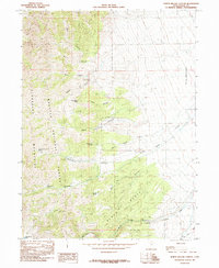
1985 Map of North Willow Canyon
USGS Topo · Published 1985About this map
The Stansbury Mountains define this high-altitude landscape within the Wasatch National Forest, where steep canyons and vital water sources supported early resource extraction. Numerous Mines and Prospects are scattered across the terrain, particularly around Davenport Canyon and the Mining Fork S Willow Creek, indicating a period of intense geological exploration. The drainage pattern is marked by several named springs, such as Coal Pit Spring and White Rock Spring, which provided essential water in this arid environment. To the east, the Grantsville Corporate Boundary encroaches upon the foothills, showing the intersection of municipal expansion and the wilder slopes of Black Bunch. This 1985 provisional survey captures a specialized mountain economy where mining claims and water rights dictated the local footprint long before modern recreation became the primary use of the forest.
Find a feature on this map
29 named features on this map. Tap any name to fly to it.
Don’t see what you’re looking for? This feature index may not catch every label — zoom into the map to look around manually.
Map Details
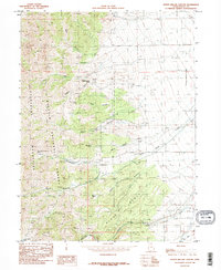
Editions of this 1985 North Willow Canyon Map
2 editions found
Other maps of this area

1885 · Tooele Valley
USGS Topo · 1:250,000

1918 · Stockton
USGS Topo · 1:62,500

1953 · Tooele
USGS Topo · 1:250,000

1955 · Timpie
USGS Topo · 1:62,500

1955 · Deseret Peak
USGS Topo · 1:62,500

1955 · Burmester
USGS Topo · 1:24,000

1955 · Grantsville
USGS Topo · 1:24,000

1955 · Stockton
USGS Topo · 1:62,500

1955 · Tooele
USGS Topo · 1:250,000
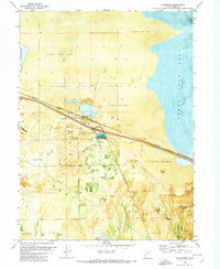
1972 · Burmester
USGS Topo · 1:24,000