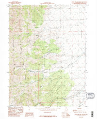
1985 Map of North Willow Canyon
USGS Topo · Published 1985About this map
The Stansbury Mountains define the high-elevation landscape of this mid-1980s provisional study, where the eastern slopes of the range descend toward the Grantsville Corporate Boundary. This is a terrain of intense resource extraction and seasonal water management, dominated by the Wasatch National Forest and characterized by a high density of mining activity. Numerous Mines and Prospects are scattered across the canyons, particularly near Davenport Canyon and Baker Canyon. The hydraulic character of the area is mapped through an intricate system of springs and drainages, such as Coal Pit Spring and White Rock Spring, which feed into the forks of Willow Creek. A notable Aqueduct on the eastern plains illustrates the engineering required to move water from these mountain sources to the developing edge of Grantsville. High-altitude landmarks like North Willow Lake and the Black Bunch ridge provide orientation for those studying the 20th-century industrial and natural geography of Tooele County.
Find a feature on this map
32 named features on this map. Tap any name to fly to it.
Don’t see what you’re looking for? This feature index may not catch every label — zoom into the map to look around manually.
Map Details
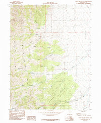
Editions of this 1985 North Willow Canyon Map
2 editions found
Other maps of this area

1885 · Tooele Valley
USGS Topo · 1:250,000

1918 · Stockton
USGS Topo · 1:62,500

1953 · Tooele
USGS Topo · 1:250,000

1955 · Timpie
USGS Topo · 1:62,500

1955 · Deseret Peak
USGS Topo · 1:62,500

1955 · Burmester
USGS Topo · 1:24,000

1955 · Grantsville
USGS Topo · 1:24,000

1955 · Stockton
USGS Topo · 1:62,500

1955 · Tooele
USGS Topo · 1:250,000
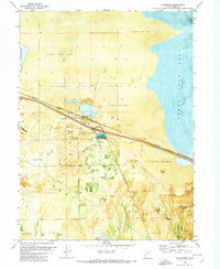
1972 · Burmester
USGS Topo · 1:24,000