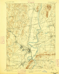
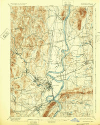
1895 Map of Northampton
USGS Topo · Published 1895About this map
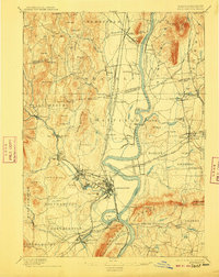
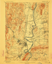
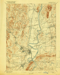
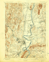
Northampton serves as a major hub of industry and institutions in the late nineteenth century, situated at a critical bend in the Connecticut River. The landscape is defined by the sharp transition from the fertile river valley floor to the prominent Holyoke Range, featuring peaks like Mt. Holyoke and Mt. Norwottock. To the west, the Mill River powers a succession of manufacturing villages, including Florence, Leeds, and Haydenville, while the Williamsburg Br. of the railroad traces the river's path to Williamsburg.
Find a feature on this map
136 named features on this map. Tap any name to fly to it.
Don’t see what you’re looking for? This feature index may not catch every label — zoom into the map to look around manually.
Map Details
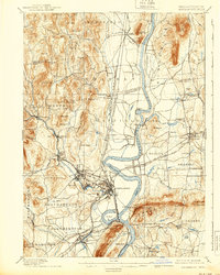
Editions of this 1895 Northampton Map
10 editions found
Other maps of this area

1885 · Northampton
USGS Topo · 1:62,500

1886 · Springfield
USGS Topo · 1:62,500

1886 · Hawley
USGS Topo · 1:62,500

1886 · Chesterfield
USGS Topo · 1:62,500

1886 · Northampton
USGS Topo · 1:62,500

1887 · Warwick
USGS Topo · 1:62,500

1887 · Palmer
USGS Topo · 1:62,500

1887 · Belchertown
USGS Topo · 1:62,500

1887 · Granville
USGS Topo · 1:62,500

1888 · Chesterfield
USGS Topo · 1:62,500