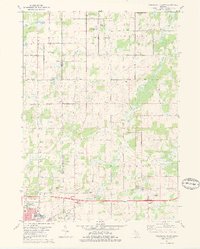
1981 Map of Northeast Albion
USGS Topo · Published 1981About this map
The boundary between Calhoun and Jackson counties defines the landscape of this 1981 survey, where the northern edge of Albion meets rural townships. The Conrail line and Michigan Avenue parallel the southern border, supporting a mix of industry and infrastructure such as the Armory and a Drive-in Theater. The terrain is marked by the winding waters of Rice Creek and its South Branch, which flow through a region of scattered small lakes including Clark Lake and White Lake.
Find a feature on this map
51 named features on this map. Tap any name to fly to it.
Don’t see what you’re looking for? This feature index may not catch every label — zoom into the map to look around manually.
Map Details
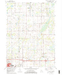
Editions of this 1981 Northeast Albion Map
2 editions found
Other maps of this area

1919 · Springport
USGS Topo · 1:62,500

1921 · Springport
USGS Topo · 1:62,500

1921 · Marshall
USGS Topo · 1:62,500

1923 · Marshall
USGS Topo · 1:62,500

1943 · Marshall
USGS Topo · 1:62,500

1948 · Spring Arbor
USGS Topo · 1:62,500

1948 · Homer
USGS Topo · 1:62,500

1949 · Homer
USGS Topo · 1:62,500

1949 · Spring Arbor
USGS Topo · 1:62,500

1958 · Grand Rapids
USGS Topo · 1:250,000