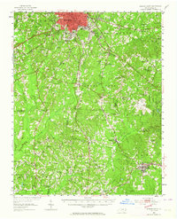
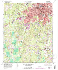
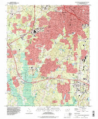
1973 Map of Northeast Durham
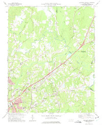
USGS Topo · Published 1975This historical map portrays the area of Northeast Durham in 1973, primarily covering Durham as well as portions of Wake County and Granville County. Featuring a scale of 1:24000, this map provides a highly detailed snapshot of the terrain, roads, buildings, counties, and historical landmarks in the Northeast Durham region at the time. Published in 1975, it is one of 4 known editions of this map due to revisions or reprints.
Find a feature on this map
48 named features on this map. Tap any name to fly to it.
Don’t see what you’re looking for? This feature index may not catch every label — zoom into the map to look around manually.
Map Details
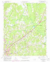
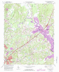
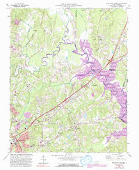
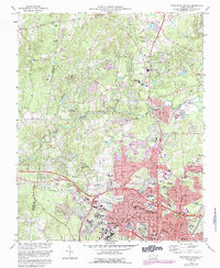
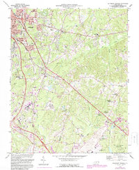
Editions of this 1973 Northeast Durham Map
4 editions found
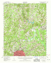
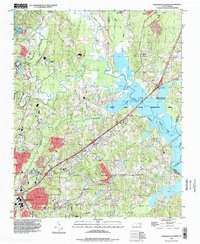
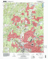
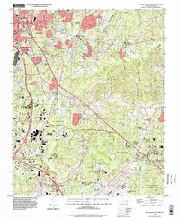
Historical Maps of Rocky Knoll Through Time
12 maps found

1943 Durham South
Durham County, NC
1951 Durham North
Durham County, NC
1951 Durham South
Durham County, NC
1973 Northeast Durham
Durham County, NC
1973 Northwest Durham
Durham County, NC
1973 Southeast Durham
Durham County, NC
1973 Southwest Durham
Durham County, NC
1993 Northeast Durham
Durham County, NC
1993 Northwest Durham
Durham County, NC
1993 Southeast Durham
Durham County, NC
1993 Southwest Durham
Durham County, NC
1999 Northeast Durham
Durham County, NC