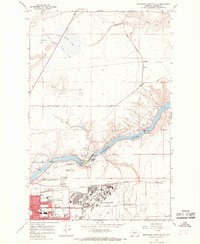
1965 Map of Northeast Great Falls
USGS Topo · Published 1968About this map
Malmstrom Air Force Base dominates the southeastern quadrant of this mid-1960s study, showcasing the massive scale of military aviation infrastructure adjacent to the Missouri River. The river itself is the centerpiece of the local industrial and natural landscape, marked by a succession of hydroelectric sites including Ryan Dam, Rainbow Dam, and Cochrane Dam, which harnessed the descent of the water at Rainbow Falls and Crooked Falls.
Find a feature on this map
46 named features on this map. Tap any name to fly to it.
Don’t see what you’re looking for? This feature index may not catch every label — zoom into the map to look around manually.
Map Details
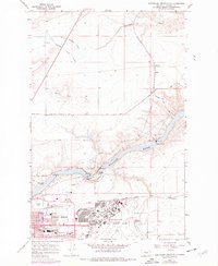
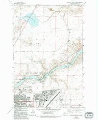
Editions of this 1965 Northeast Great Falls Map
3 editions found
Other maps of this area

1886 · Great Falls
USGS Topo · 1:250,000

1948 · Portage
USGS Topo · 1:62,500

1949 · Portage
USGS Topo · 1:62,500

1949 · Great Falls
USGS Topo · 1:62,500

1951 · Great Falls
USGS Topo · 1:62,500

1954 · Great Falls
USGS Topo · 1:250,000

1955 · Stockett
USGS Topo · 1:62,500

1955 · Gore Hill
USGS Topo · 1:62,500

1957 · Great Falls
USGS Topo · 1:250,000
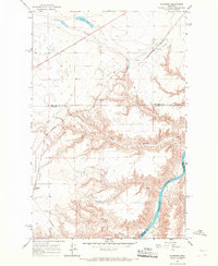
1965 · Floweree
USGS Topo · 1:24,000