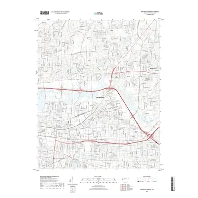
2019 Map of Northeast Memphis
USGS Topo · Published 2019About this map
Memphis expanded into its northeastern suburban reaches by the late 2010s, showing a densely gridded residential landscape interlaced with historical burial grounds and natural waterways. The Wolf River serves as a central geographical spine, meandering through the center of the sheet and feeding tributaries like Fletcher Creek and Cypress Cr. This era of the city's development is defined by established neighborhoods such as Hollywood, Frayser, and Berclair, which sit alongside the industrial and transit corridors of the CSX railroad and major pikes.
Find a feature on this map
458 named features on this map. Tap any name to fly to it.
Don’t see what you’re looking for? This feature index may not catch every label — zoom into the map to look around manually.
Map Details
Editions of this 2019 Northeast Memphis Map
This is the sole edition of this map. No revisions or reprints were ever made.
Other maps of this area

1916 · Memphis
USGS Topo · 1:62,500

1925 · Memphis
USGS Topo · 1:48,000

1927 · Memphis
USGS Topo · 1:62,500

1931 · Jericho
USGS Topo · 1:62,500

1939 · Jericho
USGS Topo · 1:62,500

1939 · Memphis
USGS Topo · 1:62,500

1942 · Millington
USGS Topo · 1:62,500

1952 · Jericho
USGS Topo · 1:62,500

1953 · Memphis
USGS Topo · 1:250,000

1955 · Memphis
USGS Topo · 1:62,500