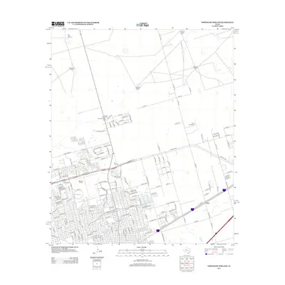
2012 Map of Northeast Midland
USGS Topo · Published 2012About this map
The expanding northeastern suburban reaches of Midland define this landscape, where residential street grids meet the open ranchlands and oil fields of West Texas. Education and civic infrastructure are central to the area, anchored by Midland Coll and several prominent final resting places including Rest Haven Cem and Fairview Cem. The transition from urban density to rural expanse is marked by a network of numbered county roads like N Co Rd 1150 and E Hwy-80, which serves the small community at Chub.
Find a feature on this map
169 named features on this map. Tap any name to fly to it.
Don’t see what you’re looking for? This feature index may not catch every label — zoom into the map to look around manually.
Map Details
Editions of this 2012 Northeast Midland Map
This is the sole edition of this map. No revisions or reprints were ever made.
Other maps of this area

1954 · Hobbs
USGS Topo · 1:250,000

1954 · Pecos
USGS Topo · 1:250,000

1954 · Big Spring
USGS Topo · 1:250,000

1954 · San Angelo
USGS Topo · 1:250,000

1957 · Pecos
USGS Topo · 1:250,000

1958 · San Angelo
USGS Topo · 1:250,000

1958 · Big Spring
USGS Topo · 1:250,000

1958 · Hobbs
USGS Topo · 1:250,000

1965 · San Angelo
USGS Topo · 1:250,000

1965 · Southeast Midland
USGS Topo · 1:24,000