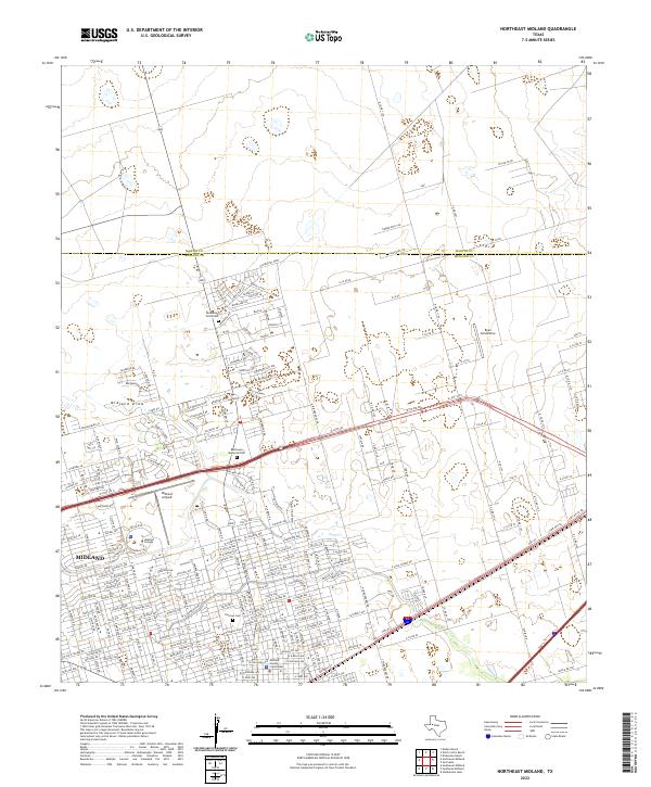
2022 Map of Northeast Midland
USGS Topo · Published 2022About this map
The city of Midland extends into the High Plains of West Texas, shown here just before the city limits meet the Martin County line. This portion of the Permian Basin reveals a dense urban grid giving way to a landscape increasingly defined by aeronautics and expansive ranch or industrial roads. Aviation history is centered on the Midland Airpark and the smaller Ryan Aerodrome, while the Midland County Courthouse and Midland College anchor the municipal and educational heart of the city. Notable for genealogists, the map identifies three significant burial grounds: Fairview Cem, Resthaven Memorial Park, and Resthaven North Cem. The ephemeral Midland Draw cuts through the western edge of the town, representing the primary natural drainage in an otherwise engineered environment of bypasses and loops like W Loop 250 N.
Find a feature on this map
30 named features on this map. Tap any name to fly to it.
Don’t see what you’re looking for? This feature index may not catch every label — zoom into the map to look around manually.
Map Details
Editions of this 2022 Northeast Midland Map
This is the sole edition of this map. No revisions or reprints were ever made.
Other maps of this area

1954 · Hobbs
USGS Topo · 1:250,000

1954 · Pecos
USGS Topo · 1:250,000

1954 · Big Spring
USGS Topo · 1:250,000

1954 · San Angelo
USGS Topo · 1:250,000

1957 · Pecos
USGS Topo · 1:250,000

1958 · San Angelo
USGS Topo · 1:250,000

1958 · Big Spring
USGS Topo · 1:250,000

1958 · Hobbs
USGS Topo · 1:250,000

1965 · San Angelo
USGS Topo · 1:250,000

1965 · Southeast Midland
USGS Topo · 1:24,000